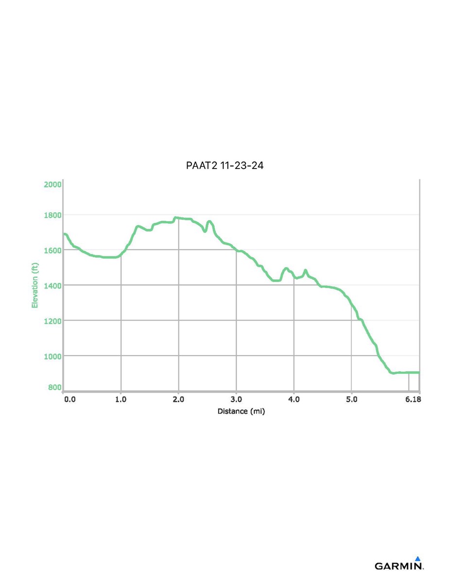
Pennsylvania Appalachian Trail #2, 11-23-2024
Distance - 6.2 mi
Time - 3:59
Total Ascent - 430 ft
Total Descent - 1215 ft
Max Elevation - 1783 ft
Min Elevation - 899 ft
NOTE: Due to snow conditions, we were unable to descend to the Rocky Mountain Shelter for lunch. The red line on the map shows the route we actually hiked. The blue line shows where we normally would have gone to have lunch..

