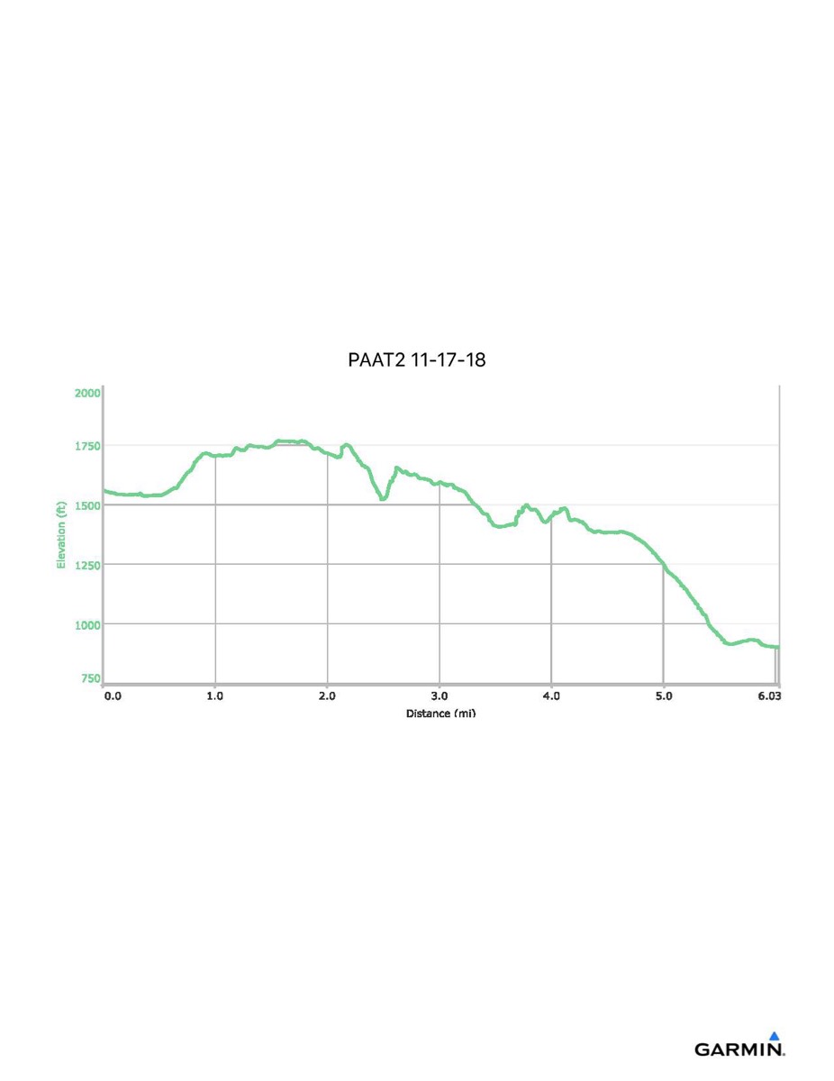
Pennsylvania Appalachian Trail #2, 11-17-2018
Distance - 6.0 mi
Time - 3:58
Total Ascent - 677 ft
Total Descent - 1336 ft
Max Elevation - 1768 ft
Min Elevation - 901 ft
NOTE: Due to snow conditions, the vans were unable to access the normal start point of this hike. There was also a small detour within Caledonia State Park due to trail conditions there. The red line on the map shows the route we actually hiked. The two blue lines show what we normally would have done.