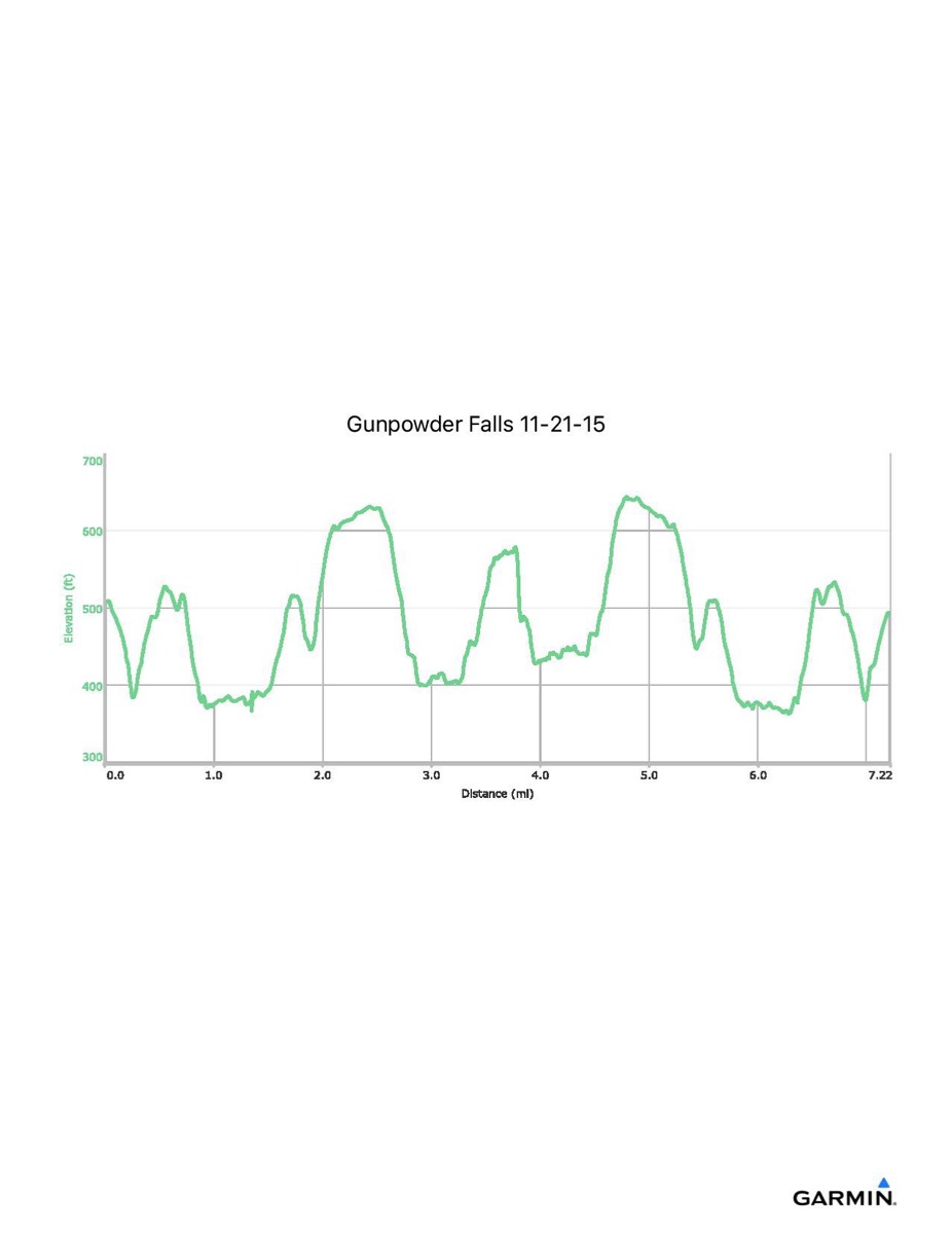
Gunpowder Falls, 11-21-2015
Distance - 7.2 mi
Time - 4:40
Total Ascent - 1387 ft
Total Descent - 1400 ft
Max Elevation - 644 ft
Min Elevation - 355 ft
Note: route may vary with conditions
Time - 4:40
Total Ascent - 1387 ft
Total Descent - 1400 ft
Max Elevation - 644 ft
Min Elevation - 355 ft
Note: route may vary with conditions