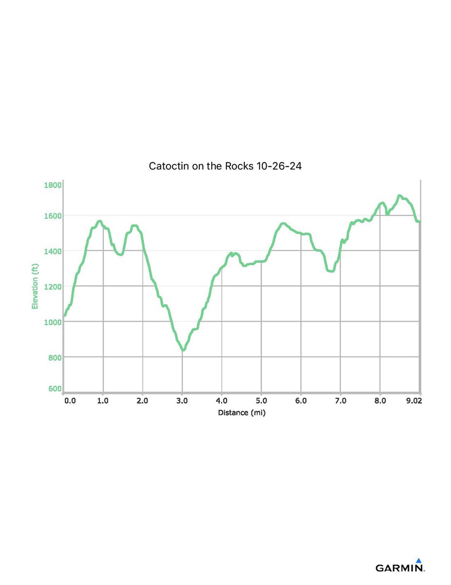
Catoctin on the Rocks, 10-26-2024
Distance - 9.0 mi
Time - 5:47
Total Ascent - 2064 ft
Total Descent - 1530 ft
Max Elevation - 1712 ft
Min Elevation - 837 ft
Note: These numbers reflect what I walked with the GPS. If you did not go out to Hog Rock and back, subtract: 1.1 miles distance, 144 ft of ascent/descent. If you did walk out onto Wolf Rock, add: 0.2 miles distance and 40 ft of ascent/descent.

