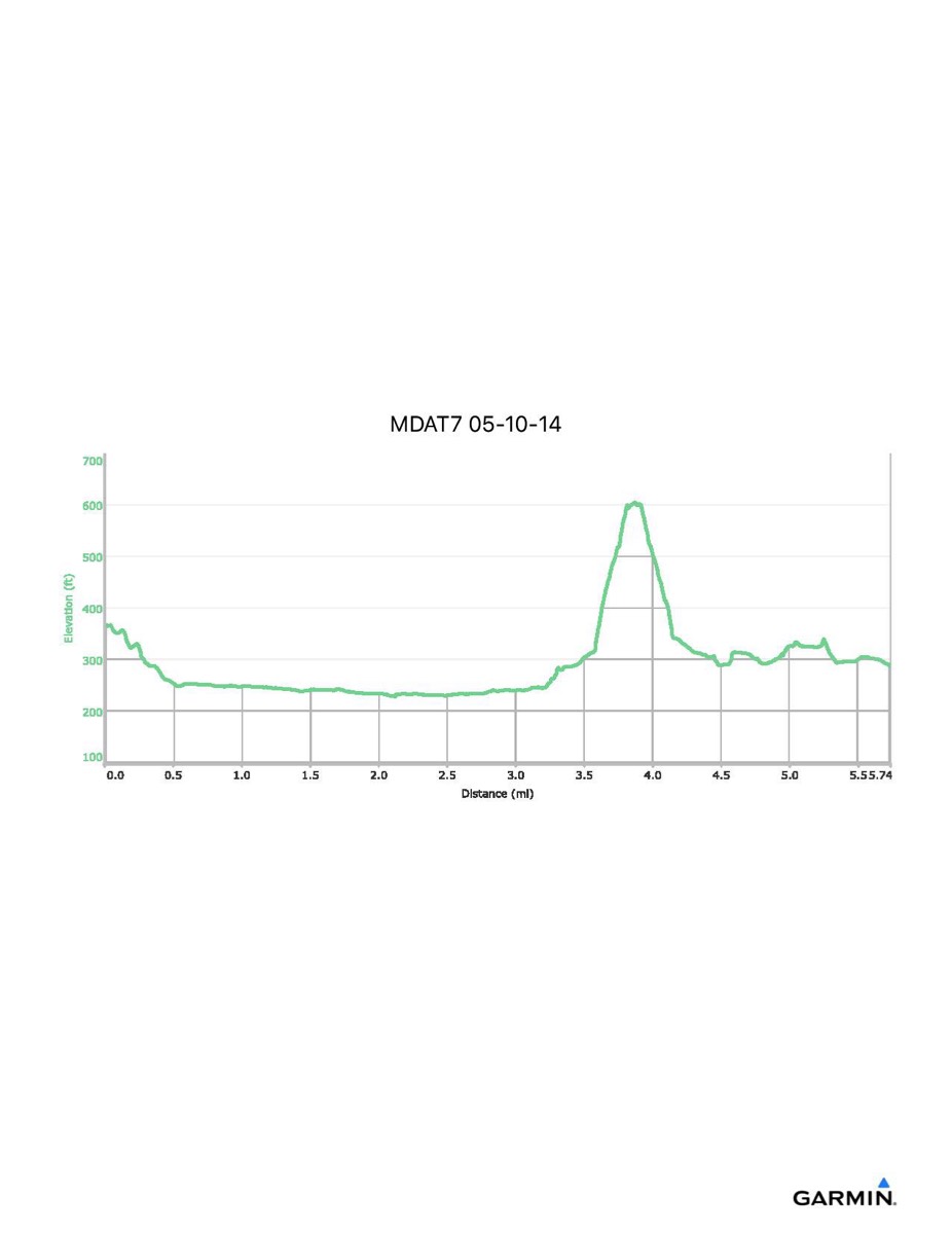
Maryland Appalachian Trail #7, 5-10-2014
Distance - 5.7 mi
Time - 4:10
Total Ascent - 543 ft
Total Descent - 622 ft
Max Elevation - 604 ft
Min Elevation - 221 ft
NOTE: Actual mileage will vary depending on whether you make the side trip to Maryland Heights and how much walking around Harpers Ferry. Also, this track does not include a final walk up to ATC headquarters after hike.