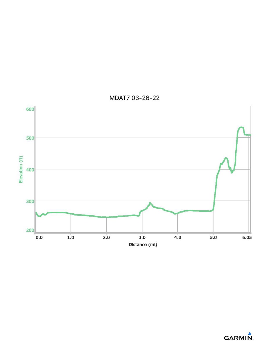
Maryland Appalachian Trail #7, 3-26-2022
Distance - 6.7 mi
Time - 4:44
Total Ascent - 391 ft
Total Descent - 242 ft
Max Elevation - 533 ft
Min Elevation - 268 ft
Note: These numbers were extrapolated using data from a previous hike because I forgot to turn on my GPS app until we were at Lock #31.
Time - 4:44
Total Ascent - 391 ft
Total Descent - 242 ft
Max Elevation - 533 ft
Min Elevation - 268 ft
Note: These numbers were extrapolated using data from a previous hike because I forgot to turn on my GPS app until we were at Lock #31.