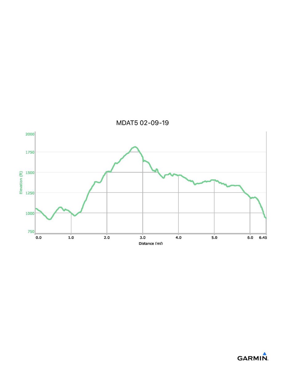
Maryland Appalachian Trail #5, 2–9-2019
Distance - 6.5 mi
Time - 4:24
Total Ascent - 1327 ft
Total Descent - 1448 ft
Max Elevation - 1812 ft
Min Elevation - 920 ft
Note: I remained on the AT while the majority of the hikers went down to the Crampton Gap shelter. The above numbers reflect what I did. Those who went to the shelter will have slightly different totals, but essentially the same.