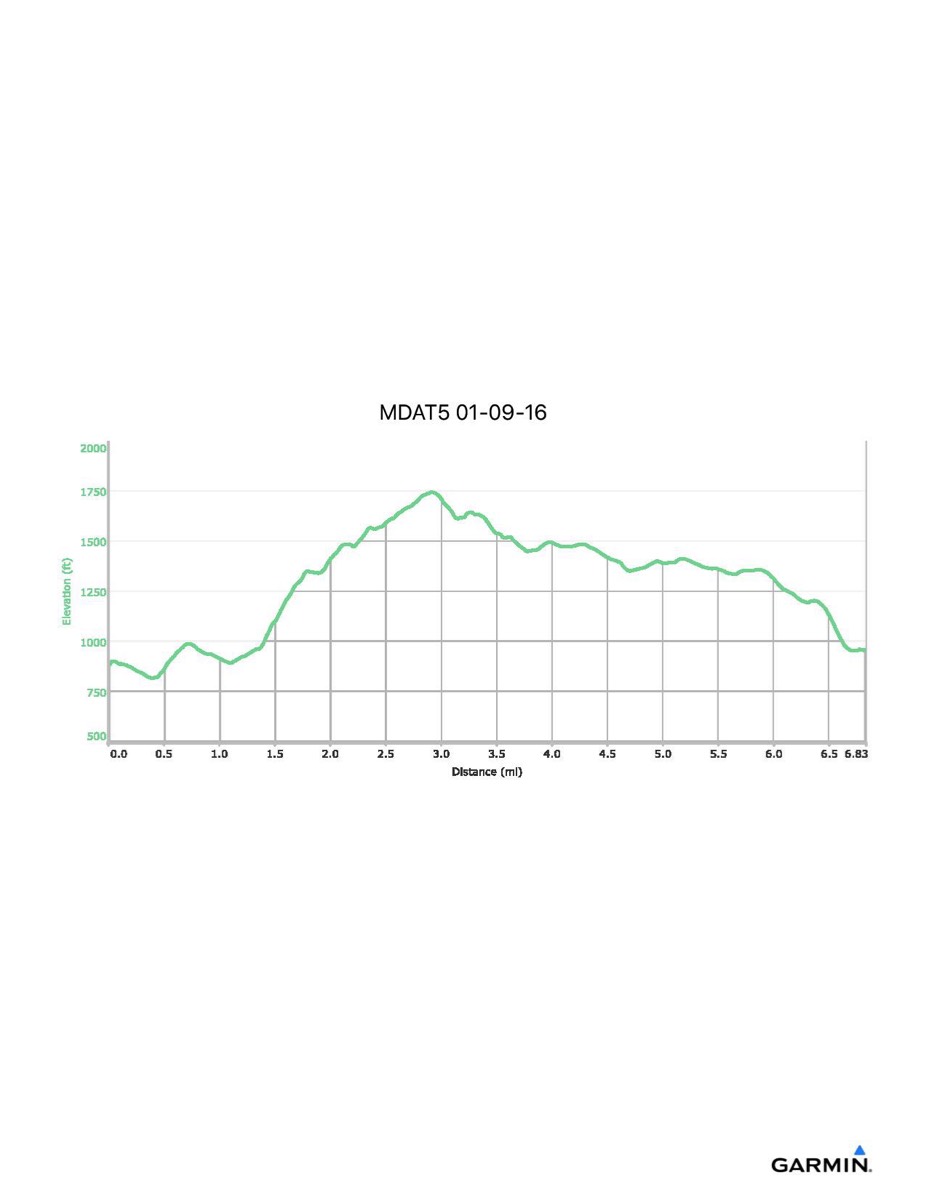
Maryland Appalachian Trail #5, 1-9-2016
Distance - 6.8 mi
Time - 3:47
Total Ascent - 1287 ft
Total Descent - 1213 ft
Max Elevation - 1745 ft
Min Elevation - 816 ft
Note: this hike ran N-S (Reno Monument - Gathland SP)
Time - 3:47
Total Ascent - 1287 ft
Total Descent - 1213 ft
Max Elevation - 1745 ft
Min Elevation - 816 ft
Note: this hike ran N-S (Reno Monument - Gathland SP)