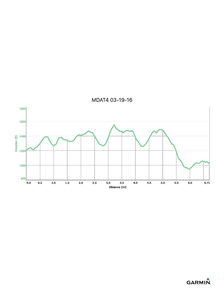
Maryland Appalachian Trail #4, 3-19-2016
Distance - 6.7 mi
Time - 3:35
Total Ascent - 1231 ft
Total Descent - 1394 ft
Max Elevation - 1552 ft
Min Elevation - 947 ft
Note: this hike ran N-S (Rt 40 - Reno Monument)
Time - 3:35
Total Ascent - 1231 ft
Total Descent - 1394 ft
Max Elevation - 1552 ft
Min Elevation - 947 ft
Note: this hike ran N-S (Rt 40 - Reno Monument)