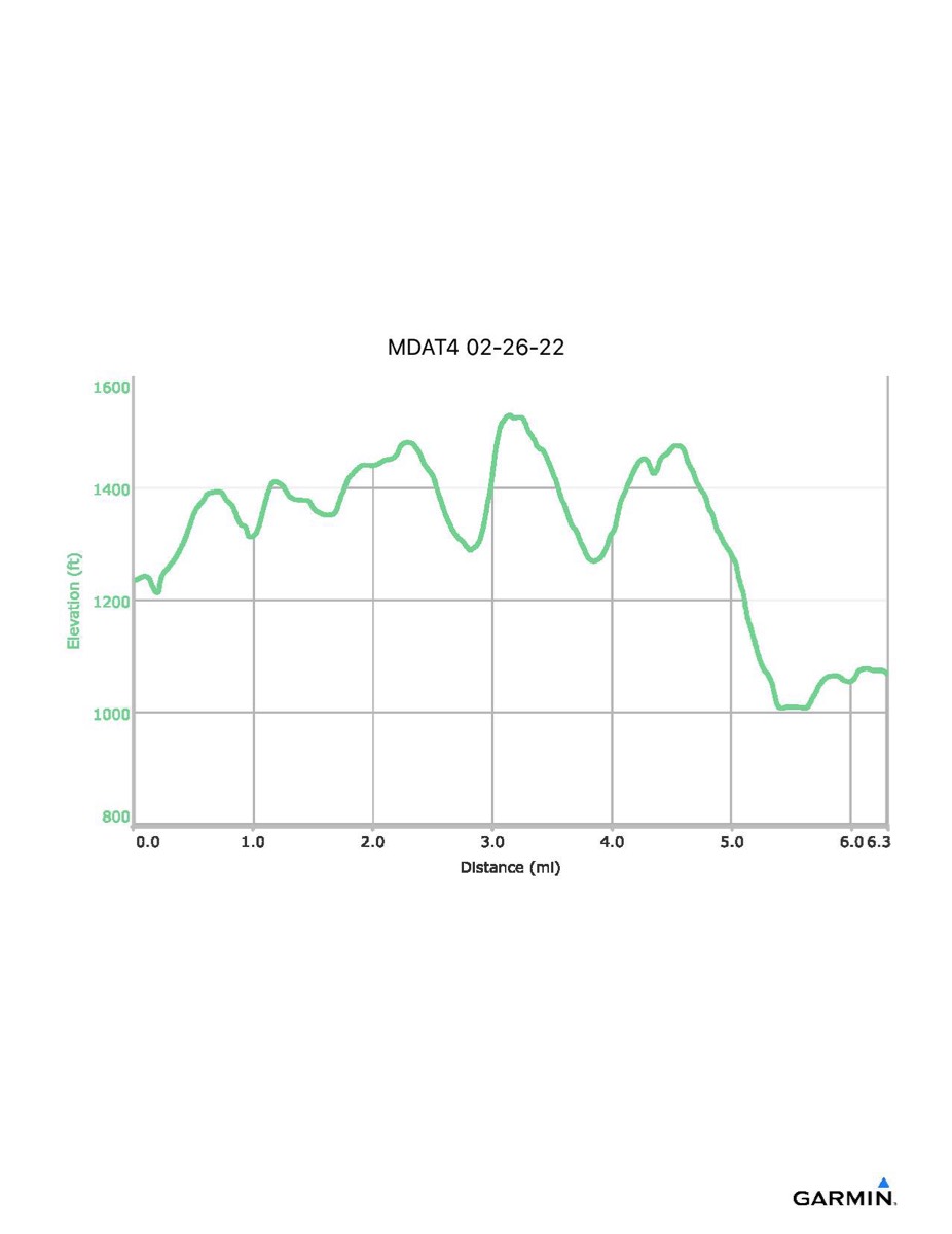
Maryland Appalachian Trail #4, 2-26-2022
Distance - 6.3 mi
Time - 3:20
Total Ascent - 973 ft
Total Descent - 1141 ft
Max Elevation - 1530 ft
Min Elevation - 1007 ft
Note: this hike ran N-S (Rt 40 - Reno Monument)
Time - 3:20
Total Ascent - 973 ft
Total Descent - 1141 ft
Max Elevation - 1530 ft
Min Elevation - 1007 ft
Note: this hike ran N-S (Rt 40 - Reno Monument)