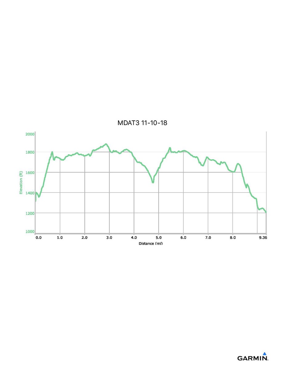
Maryland Appalachian Trail #3, 11–10-2018
Distance - 9.4 mi
Time - 5:11
Total Ascent - 1516 ft
Total Descent - 1621 ft
Max Elevation - 1878 ft
Min Elevation - 1206 ft
Time - 5:11
Total Ascent - 1516 ft
Total Descent - 1621 ft
Max Elevation - 1878 ft
Min Elevation - 1206 ft