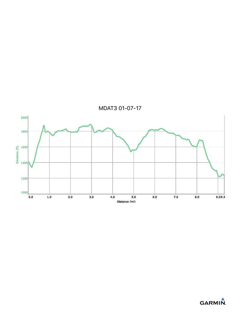
Maryland Appalachian Trail #3, 1–7-2017
Distance - 9.3 mi
Time - 5:43
Total Ascent - 1369 ft
Total Descent - 1550 ft
Max Elevation - 1888 ft
Min Elevation - 1218 ft
Time - 5:43
Total Ascent - 1369 ft
Total Descent - 1550 ft
Max Elevation - 1888 ft
Min Elevation - 1218 ft