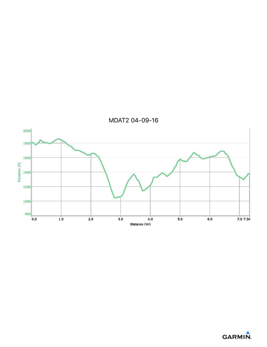
Maryland Appalachian Trail #2, 4-9-2016
Distance - 7.3 mi
Time - 4:11
Total Ascent - 1328 ft
Total Descent - 1763 ft
Max Elevation - 1858 ft
Min Elevation - 1040 ft
Time - 4:11
Total Ascent - 1328 ft
Total Descent - 1763 ft
Max Elevation - 1858 ft
Min Elevation - 1040 ft