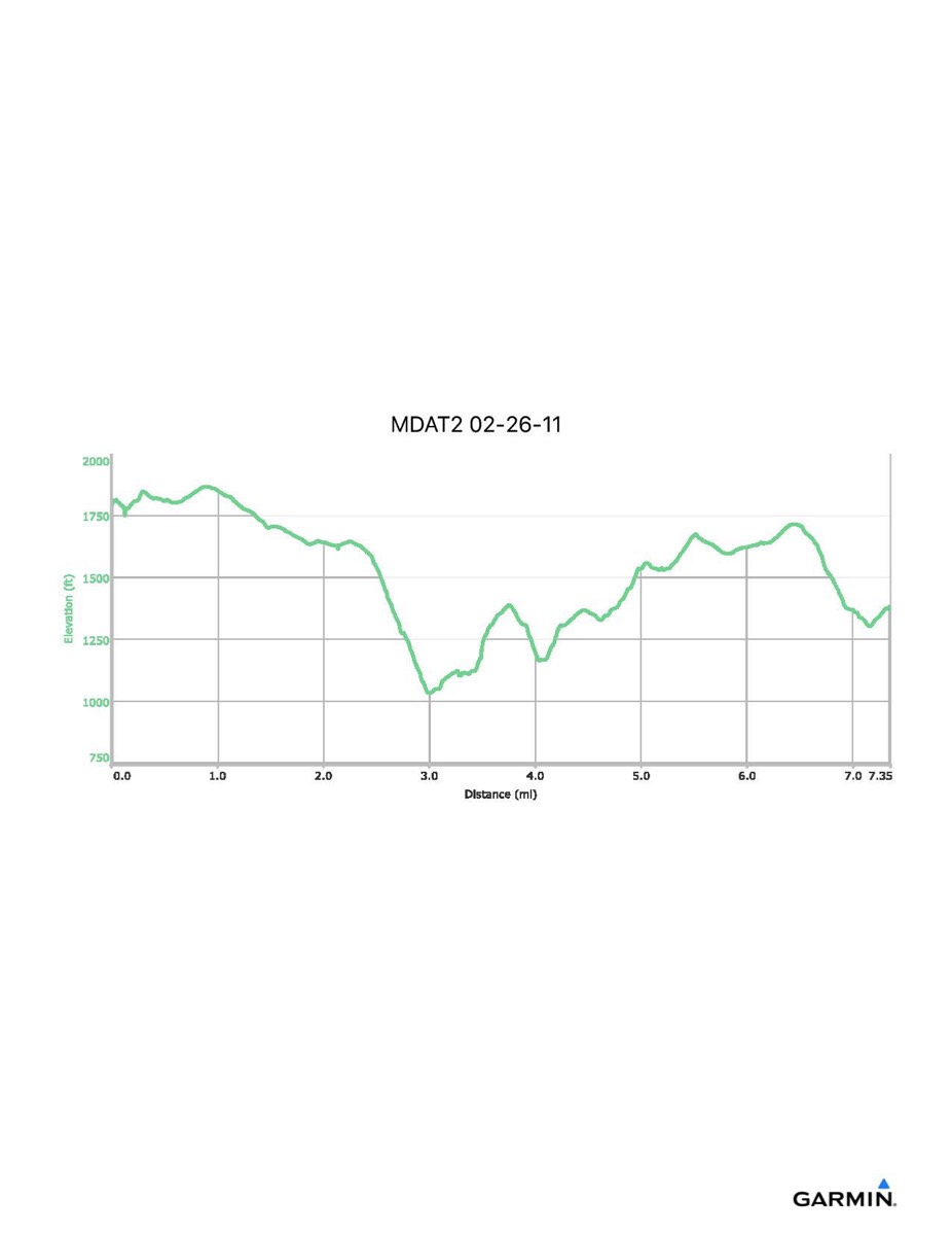
Maryland Appalachian Trail #2, 2-26-2011
Distance - 7.4 mi
Time - 4:58
Total Ascent - 1366 ft
Total Descent - 1779 ft
Max Elevation - 1868 ft
Min Elevation - 1032 ft
Time - 4:58
Total Ascent - 1366 ft
Total Descent - 1779 ft
Max Elevation - 1868 ft
Min Elevation - 1032 ft