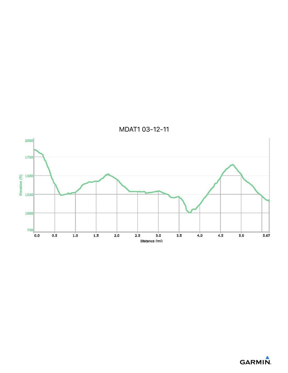
Maryland Appalachian Trail #1, 3-12-2011
Distance - 5.7 mi
Time - 3:50
Total Ascent - 1012 ft
Total Descent - 1719 ft
Max Elevation - 1868 ft
Min Elevation - 1000 ft
Time - 3:50
Total Ascent - 1012 ft
Total Descent - 1719 ft
Max Elevation - 1868 ft
Min Elevation - 1000 ft