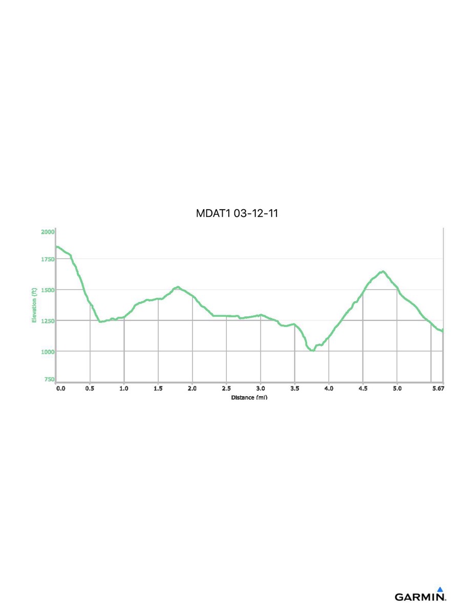
Maryland Appalachian Trail #1, 3-9-2013
Distance - 6.0 mi
Time - 4:27
Total Ascent - 1052 ft
Total Descent - 1694 ft
Max Elevation - 1833 ft
Min Elevation - 1024 ft
Time - 4:27
Total Ascent - 1052 ft
Total Descent - 1694 ft
Max Elevation - 1833 ft
Min Elevation - 1024 ft