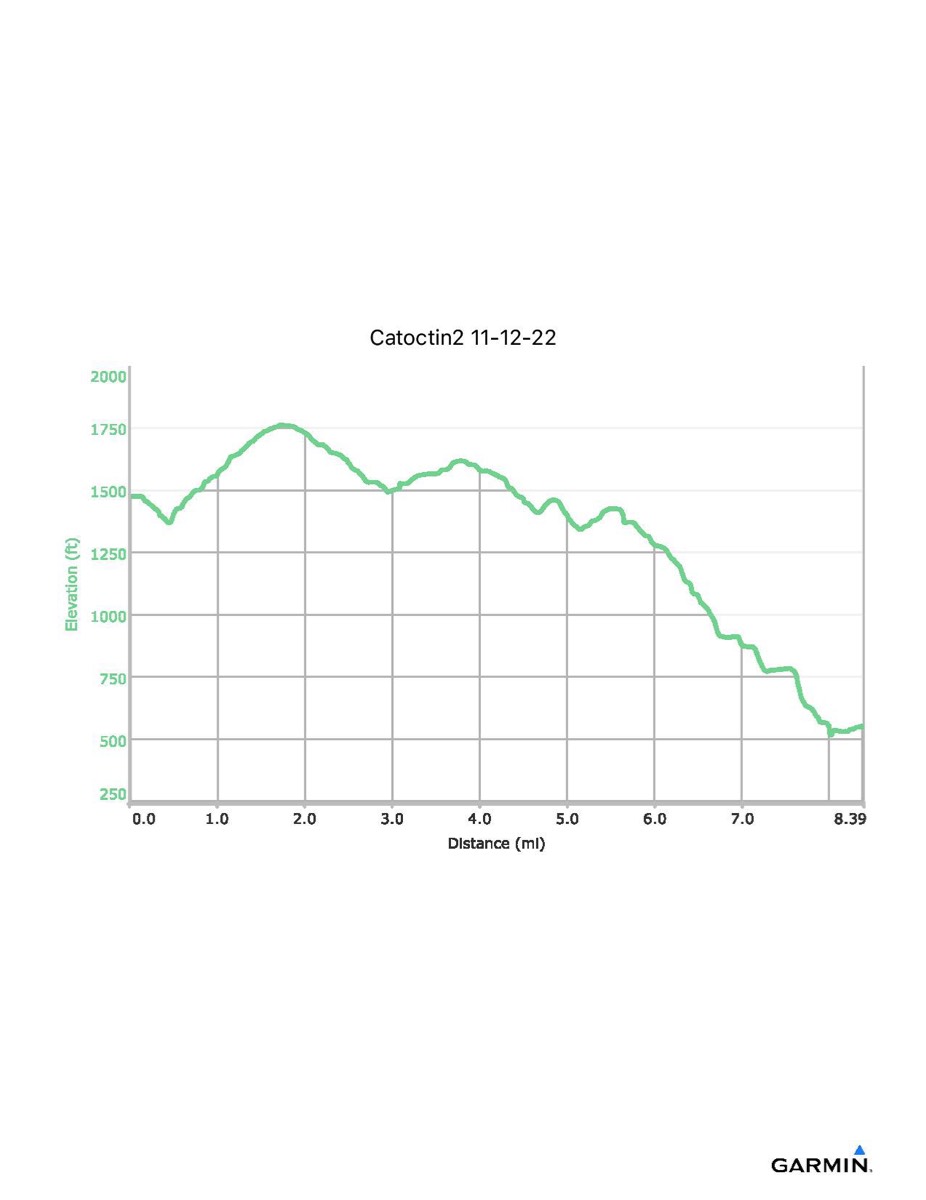
Catoctin Trail #2, 11-12-2022
Distance - 8.4 mi
Time - 4:39
Total Ascent - 712 ft
Total Descent - 1639 ft
Max Elevation - 1762 ft
Min Elevation - 515 ft
NOTE: distance is slightly longer due to detour around high water crossing.
Time - 4:39
Total Ascent - 712 ft
Total Descent - 1639 ft
Max Elevation - 1762 ft
Min Elevation - 515 ft
NOTE: distance is slightly longer due to detour around high water crossing.