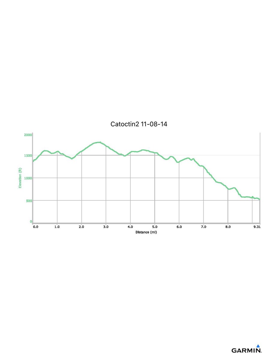
Catoctin Trail #2, 11-8-2014
Distance - 8.8 mi (9.3 mi)
Time - 4:20 (4:39)
Total Ascent - 1072 ft (1112 ft)
Total Descent - 1854 ft (1944 ft)
Max Elevation - 1792 ft
Min Elevation - 570 ft (526 ft)
(Numbers in parenthesis include side trip to Catoctin Furnace)
Time - 4:20 (4:39)
Total Ascent - 1072 ft (1112 ft)
Total Descent - 1854 ft (1944 ft)
Max Elevation - 1792 ft
Min Elevation - 570 ft (526 ft)
(Numbers in parenthesis include side trip to Catoctin Furnace)