Catoctin Trail #2, 10-20-2012
Distance - 9.1 mi (longer than published distance of 8.8 due to detour around high water crossing)
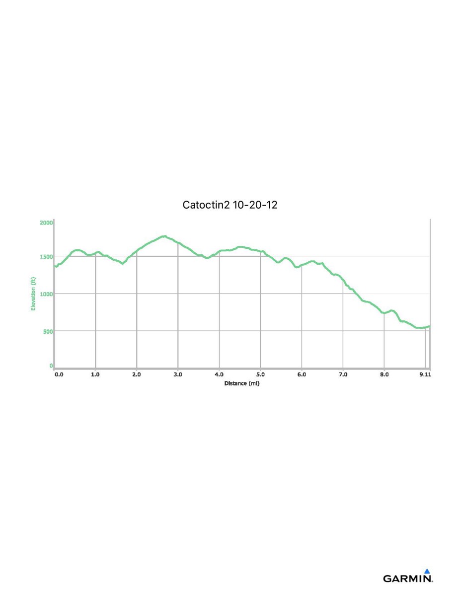
Time - 4:54
Total Ascent - 1049 ft
Total Descent - 1847 ft
Max Elevation - 1771 ft
Min Elevation - 535 ft
Time - 4:54
Total Ascent - 1049 ft
Total Descent - 1847 ft
Max Elevation - 1771 ft
Min Elevation - 535 ft