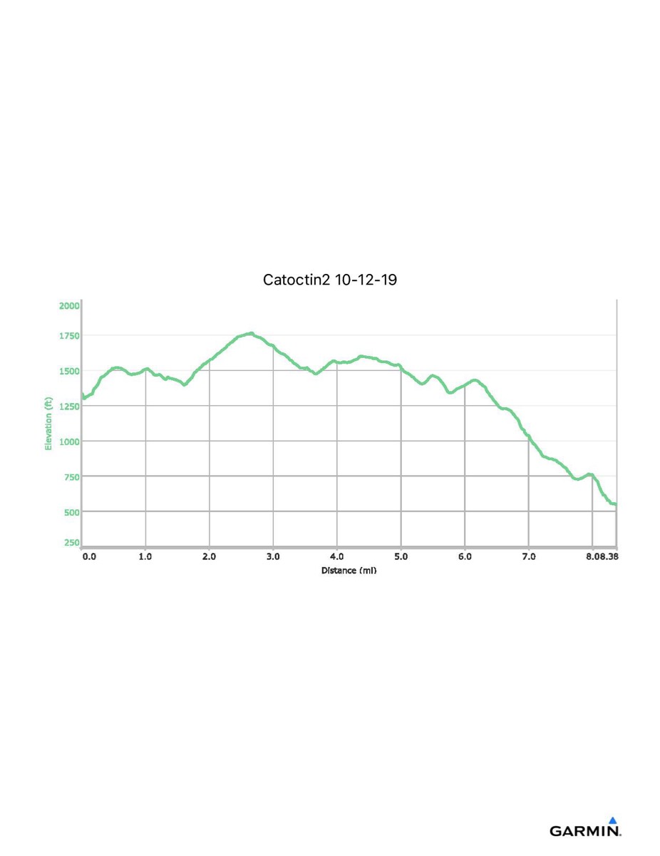
Catoctin Trail #2, 10-12-2019
Distance - 8.4 mi
Time - 4:23
Total Ascent - 992 ft
Total Descent - 1780 ft
Max Elevation - 1765 ft
Min Elevation - 548 ft
Time - 4:23
Total Ascent - 992 ft
Total Descent - 1780 ft
Max Elevation - 1765 ft
Min Elevation - 548 ft