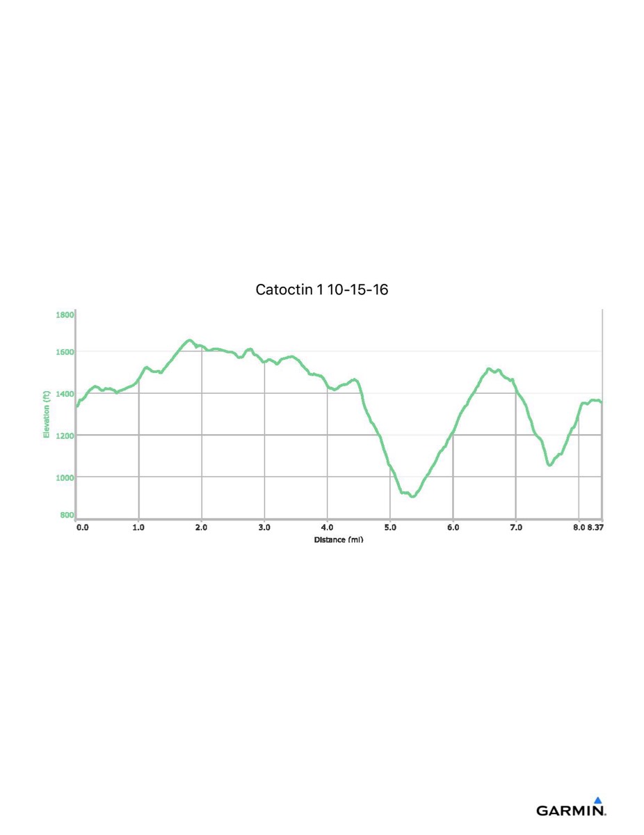
Catoctin Trail #1, 10–15-2016
Distance - 8.4 mi
Time - 4:38
Total Ascent - 1523 ft
Total Descent - 1500 ft
Max Elevation - 1655 ft
Min Elevation - 904 ft
Time - 4:38
Total Ascent - 1523 ft
Total Descent - 1500 ft
Max Elevation - 1655 ft
Min Elevation - 904 ft